With the legendary Pikes Peak and Garden of the Gods framing its slopes and canyons, Colorado Springs offers no shortage of spectacular trails putting some of the state’s most beloved scenery at your feet. The many trail networks spanning the area cater to hikers of every ability too thanks to varied lengths, elevations and difficulty allowing you to pick vistas to match the adventure you seek.
| Trail Name | Difficulty | Notable Features |
|---|---|---|
| Manitou Incline | Hard | Steep incline, panoramic views |
| Pikes Peak Barr Trail | Variable | Access to Pikes Peak, long distance |
| Garden of the Gods | Easy to Moderate | Iconic red rock formations, scenic views |
| Red Rock Canyon Open Space | Moderate | Diverse trails, rock formations |
| The Crags | Moderate | Unique rock formations, forest settings |
| Cheyenne Mountain State Park | Easy to Hard | Diverse ecosystems, wildlife |
| Palmer Park | Easy to Moderate | Urban park, panoramic city views |
| Seven Bridges Trail | Moderate | Waterfalls, forested areas |
| St. Mary’s Falls | Moderate to Hard | Waterfall, elevation gain |
| Mount Muscoco | Moderate to Hard | Summit views, challenging terrain |
| Bear Creek Regional Park | Easy to Moderate | Nature center, varied trails |
| North Cheyenne Cañon Park | Easy to Hard | Waterfalls, scenic vistas |
The following top 12 hikes around Colorado Springs range from family-friendly nature walks under a mile to challenging multi-hour treks scaling over 13,000 feet for panoramic alpine views. Just bring proper footwear, water and snacks to fuel amazing days hitting the trails across Cheyenne Mountain, Red Rock Canyon, Pikes Peak and more.
Ute Pass Regional Trail
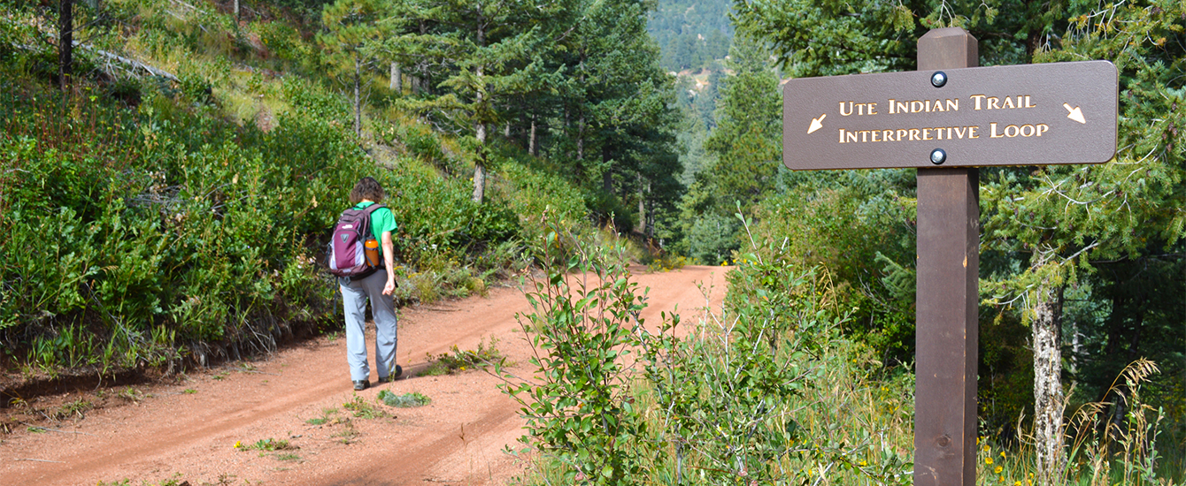
Name and Location: The Ute Pass Regional Trail is located northwest of Colorado Springs following along Ute Pass through the towns of Cascade, Chipita Park and Green Mountain Falls for nearly 10 miles.
History and Significance: Built along the old rail bed of the Colorado Midland Railroad that once connected Colorado Springs to Divide and Cripple Creek, the Ute Pass Regional Trail commemorates regional history while providing an accessible recreation path through diverse scenery.
What to Expect: Mostly gentle grades take hikers and bikers through forests, rock formations and past mountain streams along a gravel path with segments of pavement. Interpretive panels describe area history and nature. Outstanding vistas await.
Visitor Information: Free trail access with parking areas located along the route. Best seasons are spring through fall. Wheelchair accessible in sections. Dogs allowed on leash.
Accessible right from downtown Colorado Springs, Ute Pass Regional Trail delivers over 7 miles of hiking and biking along the old Midland Railroad route paralleling Fountain Creek through the Katy Trailhead. The path’s crushed gravel makes a gentle hiking surface winding past rock formations as you cross over bridges and take in plenty of fresh air.
Keep going as far as your energy takes you out and back for options spanning 2-14 miles total. The surrounding vegetation and sound of the flowing creek make it easy to go the distance.
Blodgett Peak Open Space

Name and Location: Blodgett Peak Open Space contains 1,324 acres of natural foothill terrain with trails northwest of Colorado Springs in El Paso County.
History and Significance: Previously owned by ranchers and farmers over the past century, Blodgett Peak was designated public open space in 2013, preserving native grasslands and wildlife habitats that support outdoor recreation like hiking and nature viewing.
What to Expect: Miles of trails climb through the grassland terrain into hills granting superb vistas of Pikes Peak, the Air Force Academy and other Front Range landmarks. Diverse wildlife like raptors, coyote and mule deer may be spotted.
Visitor Information: Open year-round for hiking, nature watching and photography. Some mountain biking allowed. Visitors should prepare for variable weather and watch for rattlesnakes.
Just 45 minutes from downtown unfolds 6.2 miles of trails scaling Blogett Peak’s summit at over 8,500 feet, rewarding hikers with panoramic vistas over Colorado Springs, the Rampart Range and Pikes Peak massif. Traipse through flower dotted meadows then eye bighorn sheep navigating sheer rock faces once you reach the Pine Creek drainage basin.
A short but steep last mile along the ridgeline really gets your heart pumping but feels so worth it at the top. If doing an out-and-back, budget 4-6 hours to really soak it in.
Red Rock Canyon Trails

Name and Location: Red Rock Canyon Open Space contains a network of trails wrappng around red sandstone features in the rugged terrain west of Manitou Springs, Colorado.
History and Significance: Set aside for public recreation access in 2003 after prior ranching and mining uses, this 787-acre stretch of high desert landscape allows visitors to admire and explore the unique natural canyon environment via interpretive hiking and biking paths.
What to Expect: Trails like the Hogback, Mesa and Buckhorn range from easy to challenging navigating the rocky ridges and pinyon-juniper woodlands, unlocking panoramic valley vistas amid the rock formations and cliffs surrounding the region.
Visitor Information: Year-round use trails. Parking fee area with restrooms and interpretive displays at the Main Parking Lot trailhead. Pack water and sun protection for optimal enjoyment.
Discover red sandstone formations and geological diversity unique to Colorado at Red Rock Canyon Open Space, whose easily interconnected loop trails deliver options from a flat, stroller-friendly 1-miler to challenging ridgeline scrambles spanning over 7 miles. Summiting White Acres Mountain even treats you to Pikes Peak views in the distance!
Don’t miss exploring interact exhibits at the Visitor & Nature Center illuminating everything from fossils to Ute Indian history as well to prime your understanding before hitting the dusty trails.
Seven Bridges Trail
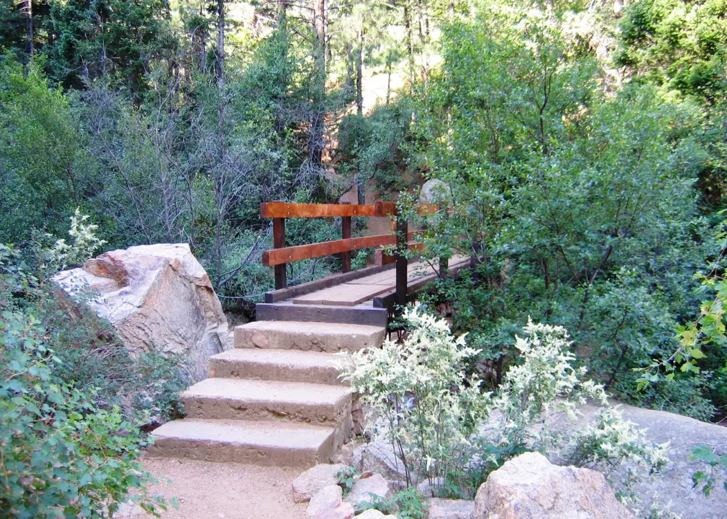
Name and Location: Seven Bridges Trail located in Cheyenne Cañon Park winds through the canyon ascending towards Helen Hunt Falls southwest of downtown Colorado Springs.
History and Significance: Developed beginning in 1886 by General William Palmer, the trail has long connected a series of scenic bridges allowing passage through the rugged, picturesque canyon revealed beyond the popular waterfall viewpoint along North Cheyenne Cañon.
What to Expect: A moderate uphill trail leading hikers over seven bridges spanning the stream-fed canyon reveals small cascades leading towards the dramatic 100-foot cascade of Helen Hunt Falls about 1.5 miles in.
Visitor Information: Open daily. Main parking area charges a small fee seasonally. No dogs allowed due to wildlife presence. Adventurers should watch weather and prepare adequately.
A family favorite close to downtown, compact Seven Bridges Trail still dazzles with granite rock formations, canyon views from seven—yes seven!—bridges crossing over gushing North Cheyenne Creek. Options range from the 1-mile loop to 4 miles out-and-back, allowing hikers of any ability to appreciate the unique natural scenery with towering ponderosa pines surrounding the hilly, pebbly path.
Picnic tables dotting banks by the creek make idyllic snack or lunch pit stops too when doing longer routes. Just watch young ones since unfenced precipices border many sections along the ridge.
Mount Manitou Incline
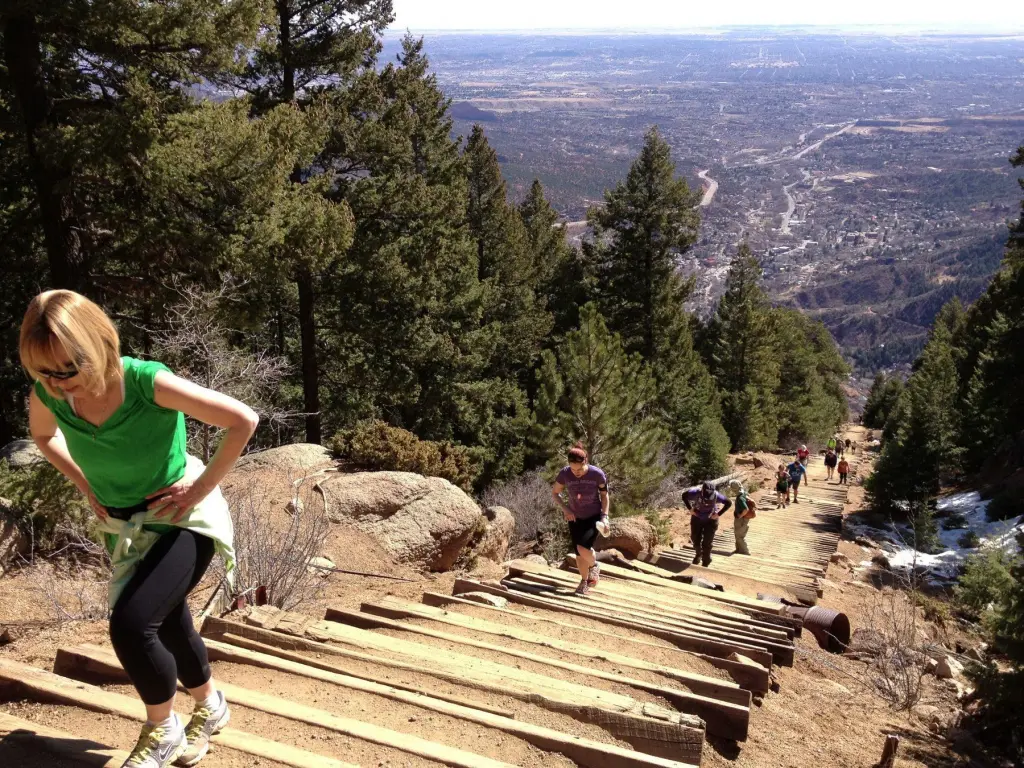
Name and Location: The Manitou Incline ascends steeply up Mount Manitou just west of Manitou Springs overlooking Colorado Springs, squeezing almost 2,000 feet of elevation gain over less than 1 mile.
History and Significance: Originally a cable car track and later an ascent challenge drawing athletes, the Manitou Incline’s steep former railroad ties now comprise an iconic hiking trail and fitness test for locals and visitors seeking an extreme cardiovascular workout.
What to Expect: Expect a relentlessly steep climb at a 40 percent grade or more, scrambling on all fours in places along the angled railroad ties secured to the hillside. Epic mountain panoramas appear with elevation gain.
Visitor Information: Free access. Park at the trailhead lot in Manitou Springs. Prepare thoroughly for the demanding trail conditions. Pack adequate water and fuel. Lightning risks often afternoon thunderstorms.
Are you ready for one of America’s toughest hikes? The steep Manitou Incline charges straight up over 2,000 feet of elevation gain in less than a mile, providing a formidable feat for ultra-fit endurance athletes along its railroad tie steps. Even attempting a partial ascent treats you to inspiring valley views as you climb toward the towering hydroelectric towers marking your endpoint.
Train specifically for the nearly 2,000 stairs demand before tackling this lung-busting, quad-burning trail favored by hardcore locals. Feel like a champion reaching whatever height you can conquer!
Pikes Peak Barr Trail

Name and Location: Barr Trail leading to the 14,115-foot summit of Pikes Peak starts near Manitou Springs and extends over 13 miles gaining over 7,800 feet in elevation.
History and Significance: Built in 1914, Barr Trail represents one of America’s classic challenging high-altitude treks leading towards the highest summit reachable by car in the Rockies. Runners compete by racing up and down the trail annually in the grueling Pikes Peak Marathon seeking record times.
What to Expect: A long, strenuous wilderness hike with fantastic scenery spanning multiple climate zones, leading from high plains to alpine tundra. Annual training and excellent fitness is required to attempt the entire route. Shuttle services allow segmented trips.
Visitor Information: Trailhead access from Manitou Springs section requires self-pay parking fee. Permit registration suggested for overnight camping on trail. Barr Camp reserve offers seasonal ameneties and lodging mid-trail.
While over 20 trails scale Pikes Peak’s 14,115 feet, the 13-mile Barr Trail stands as the classic route to the top, starting in Manitou Springs traversing over 7,800 feet of elevation gain. Give yourself at least 7 hours for the round trip climb past trickling streams, wildflower meadows and glittering vistas emerging the higher you go on its series of switchbacks built back in 1914.
Pack microspikes if tackling early season when nearsummit slush and ice await. Standing atop the iconic mountain’s peak feels on top of the world!
Catamount Trail
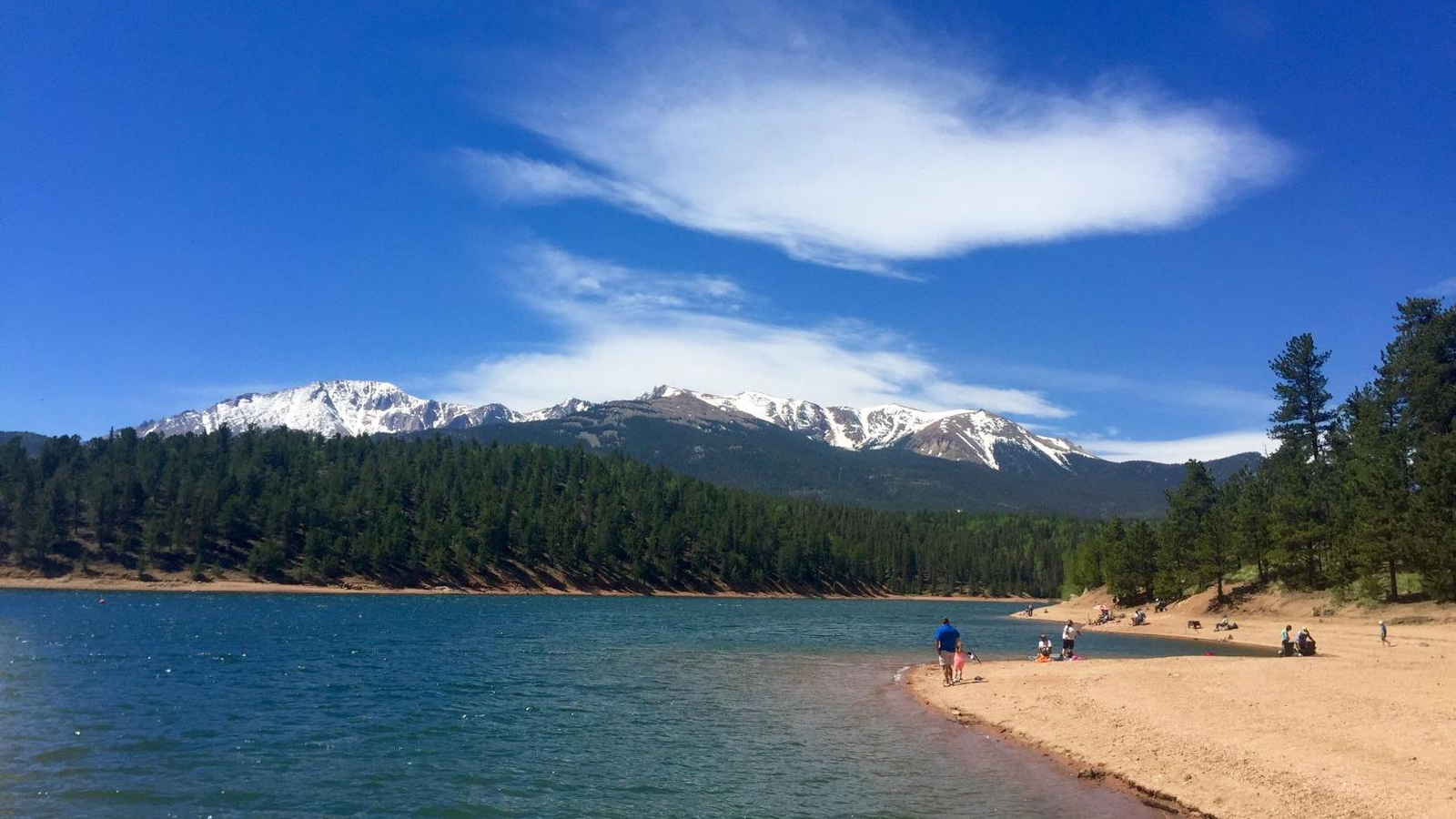
Name and Location: Catamount Trail is located within Green Mountain Falls, west of Colorado Springs wending through a steep forested valley in the southern Rocky Mountains foothills.
History and Significance: Originally constructed as a toll road in the 1870s servicing Ute Pass from Crystal Park to Green Mountain Falls, the remnants of the old roadbed now serve as a recreational path exploring the Catamount Creek gorge across bridges, waterfalls and abundant wildflowers when in season.
What to Expect: A roughly two mile wooded trail descends over 300 feet through the rocky, lush valley, crossing small bridges and revealing lovely vistas of the steep canyon drained by cascades and pools amid thick forests and rock formations.
Visitor Information: Trailheads accessed from Green Mountain Falls roads. Parking areas available.Ideal for hiking May through September. Obey area wildlife and be alert for weather events like lightning or flash flooding when active.
Master intermediate mountain terrain or train for skyscraping 14er climbs along Catamount Trail, an iconic Colorado Springs trail scaling the southern Sawatch Range. Its 10-mile route passes aspen groves and granite-face views as you make your way toward the Mt Muscoco summit at 13,081 feet where you’ll swear you can see forever across the ranges.
Budget plenty of time since the steep yet scenic path gains over 5,000 feet in elevation roundtrip. But mountain goats sure give prompts if they can do it!
Palmer Red Rock Loop

Name and Location: Palmer Red Rock Loop encompasses over 3 miles of trails exploring a scenic mesa, rock formations and a reservoir within Palmer Park located minutes north of downtown Colorado Springs.
History and Significance: The natural features amidst popular Palmer Park have long drawn area residents to enjoy easy hiking andTaking in views across grasslands showcasing the signature red Entrada sandstone emblematic of the Rocky Mountain Front Range foothills.
What to Expect: A family-friendly hike on a gravel track winds across the scenic mesa dotted with rock formations revealing panoramas taking in Colorado Springs before circling the peaceful, serene reservoir habitat that attracts ample birdlife.
Visitor Information: Access the trailhead from Mesa Road just inside the park. Restrooms and playground facilities nearby. Palmer Park lies minutes north of downtown. Open daily 5am-11pm year-round.
Escape into gorgeous sandstone scenery minutes from downtown along thisintermediate loop trail at Palmer Park ranging from 2 to 4 miles. Spikey rock formations loom as you enter the Dakota sandstone hogback then continue along ledges with views over Colorado Springs on the return Minnehaha Rock Trail portion.
Connecting trail options allow exploring everything from historic stone structures built by the Civilian Conservation Corps during the 1930s to denser pine forest sections too if you want to customize distance. Just watch footing since steep dropoffs border the trail in sections.
High Drive Trail
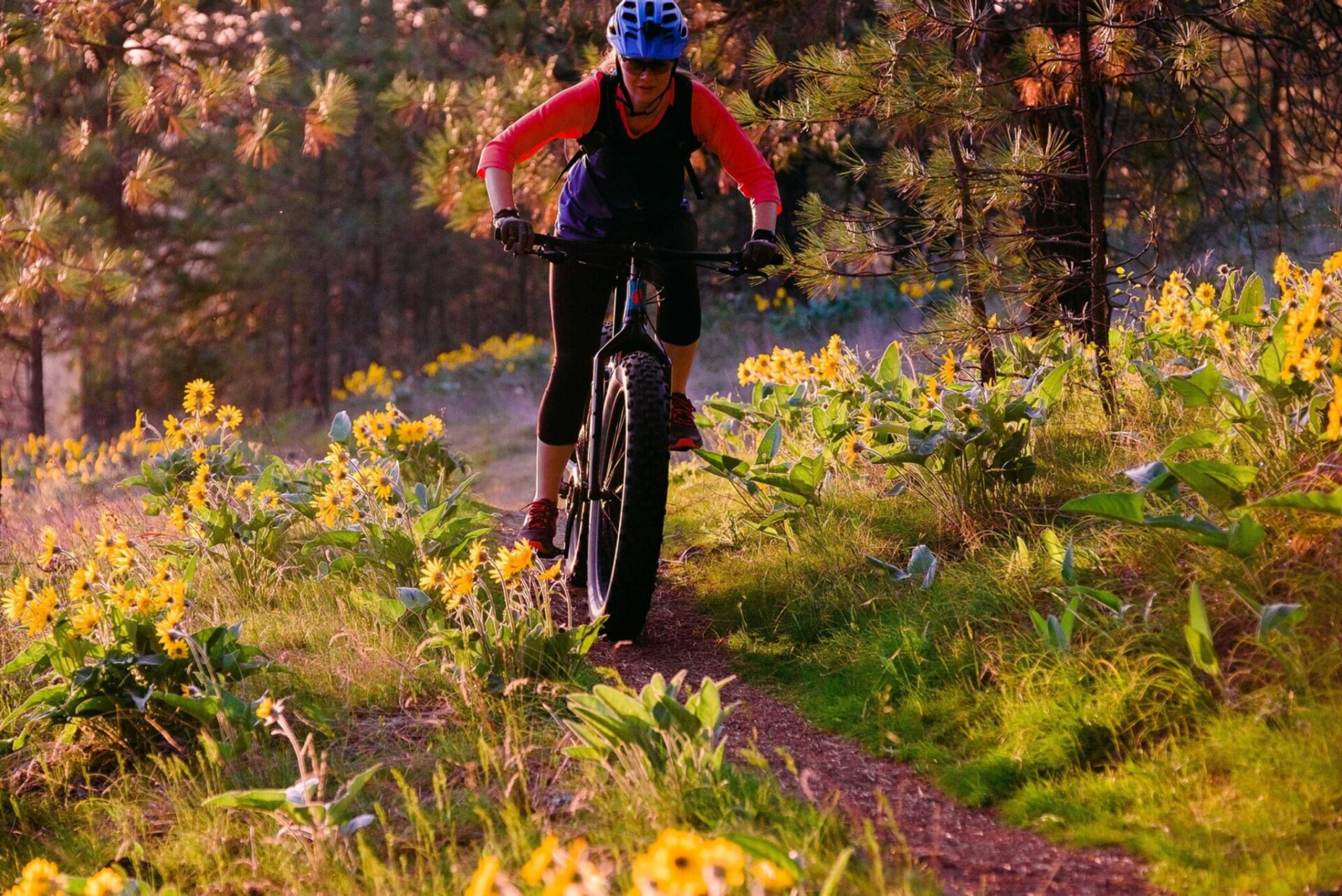
Name and Location: High Drive Trail stretches for nearly 4 miles along the mountainous slope northwest of downtown Colorado Springs bordering North Cheyenne Cañon Park and Stratton Open Space.
History and Significance: Originally built as a scenic, winding mountain driveway reaching The Broadmoor Hotel resort over a century ago, the route still guarantees terrific panoramic views of Colorado Springs and the Front Range from multiple vantage points along its peaceful wooded grade.
What to Expect: A steady uphill climbing hike or bike ride awaits, overcome by taking in breathtaking elevated scenery across the city from the trail hugging Cheyenne Mountain’s lower slopes dotted with rock formations and pine forest.
Visitor Information: Trailhead parking accessed from the upper terminus of High Drive. Moderate difficulty hiking overall with a few steeper segments. Pack sun protection. Mind instructions and area wildlife.
Wander through 800 acres of peaceful pine forest along this nearly 7-mile section of the Ring the Peak trail network circumnavigating Pikes Peak. It stays moderately physical by mostly following gentle grades along a ridge spur breaking briefly for views of the Arkansas River Valley from a rock outcropping perfect for a trail snack.
Link it to other Ring the Peak segments for even more mileage or walk an out-and-back portion to keep things simpler through refreshing stretches of shady evergreen terrain flanked by rock formations.
Mount Cutler Trail
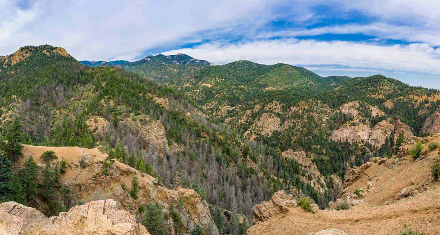
Name and Location: Mount Cutler Trail is a strenuous hiking path leading towards the summit viewpoint overlooking Colorado Springs from the mountain’s east peak at 7,473 feet in elevation.
History and Significance: Originally called Sugarloaf Mountain, this iconic Colorado Springs peak has long afforded superb vistas from rugged high terrain just east of the city and The Broadmoor resort, accessible courtesy of the steady Cutler Trail attracting hardy local hikers.
What to Expect: A challenging, fairly steep trail climbing over 1,500 feet for about 3 miles traverses scree slopes and stands of scrubbier vegetation leading towards panoramic summit views of Pikes Peak, Garden of the Gods and Colorado Springs.
Visitor Information: Access Cutler Trail from the uppermost parking pullouts along Mesa Road. The rigorous, demanding trail requires peak aerobic fitness and nimble footing over uneven surfaces. Have proper boots and backup clothing layers for volatile weather extremes.
A shorter hike near North Cheyenne Cañon Park filled with scenic payoff, Mount Cutler Trail spans just 3 miles out and back but still conquers over 1,300 feet of elevation on the climb. You’ll walk through four diverse ecological zones spotted with wildflowers in summer before reaching the summit viewpoint.
There you can sit a spell on flat sunny rocks to soak in panoramas spanning the city skyline with the southern Front Range beyond. Just be sure to save some leg power if you parked downhill and have to hike back out after!
Conclusion
With sun-drenched mesas, storied peaks and red rock canyons framing trails of every distance and difficulty, Colorado Springs overflows with hiking incentive. Use this list of top area trails spanning from downtown to mountain heights as your guide to discover new personal favorites showing off both epic Rocky Mountain scenery and unique local geology worth bragging about back home. Just try not to keep the views all to yourself!



Join the Conversation